. dwellings
As we showed at the beginning, the peculiarities of the sector required a detailed study from the point of view of architecture and not urban planning, for this it was necessary to make preliminary projects of the different types of dwellings that were proposed, although they were not the object of the commission, to avoid the delimitation of plots in which later it would be impossible to materialise the buildable area, the number of dwellings and/or the assigned parking spaces. There are several elements that are repeated in each proposal:
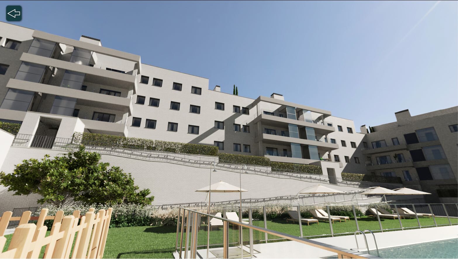
1 Taking advantage of the topography to establish a spatial separation between private and public spaces through platforms (which solves the difficulties in selling ground floor apartments aligned with the streets due to the lack of privacy)
2 visual integration of the landscape in the plots
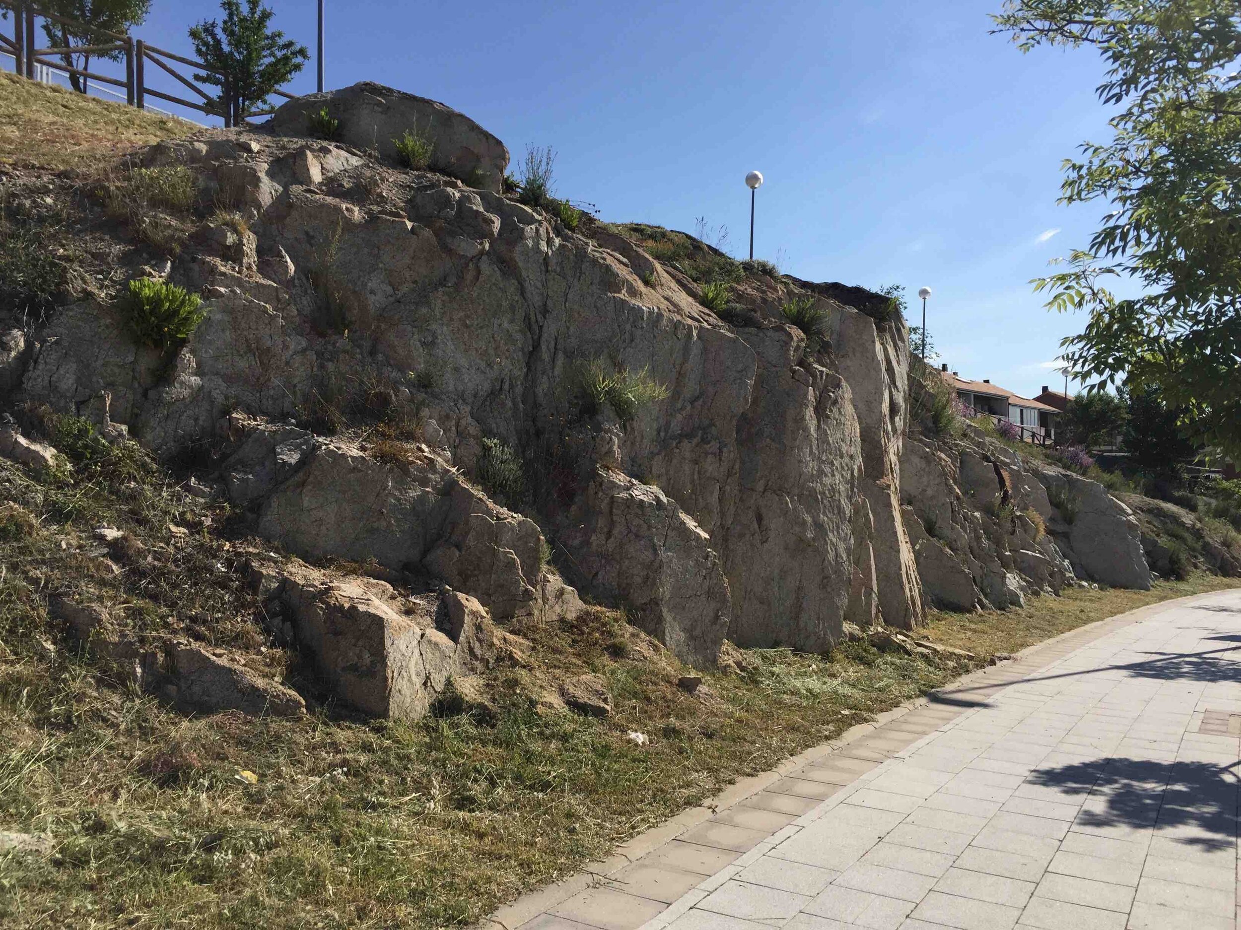
3 reinforcement of identity through the pre-existing granite spaces and the new ones generated by the intervention
4 layout of buildings with a predominance of south orientation and cross-ventilated apartments, to reduce energy consumption
5 green and/or pedestrian spaces around the plots but maintaining at least one road access for the garages, eliminating noise pollution generated by vehicles
Although the proposals for some plots may seem radical, in terms of the generation of quarry fronts, the truth is that this type of topography will always give rise to the appearance of numerous retaining walls or constructions to form platforms, as can be seen in various neighborhoods of Colmenar Viejo.
In most cases, the need for a usable horizontal surface is resolved by walls made of; reinforced concrete; stone; reinforced earth. The smaller the surface, the easier it is to adapt to the terrain and therefore the vision of these walls on the boundaries (whether on facades or in party walls) will have less visual presence.
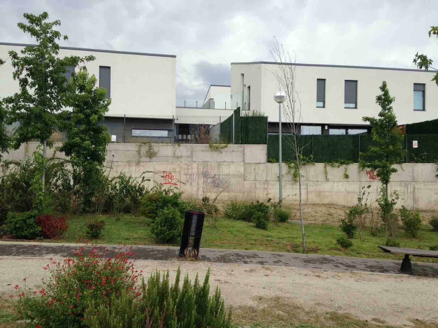
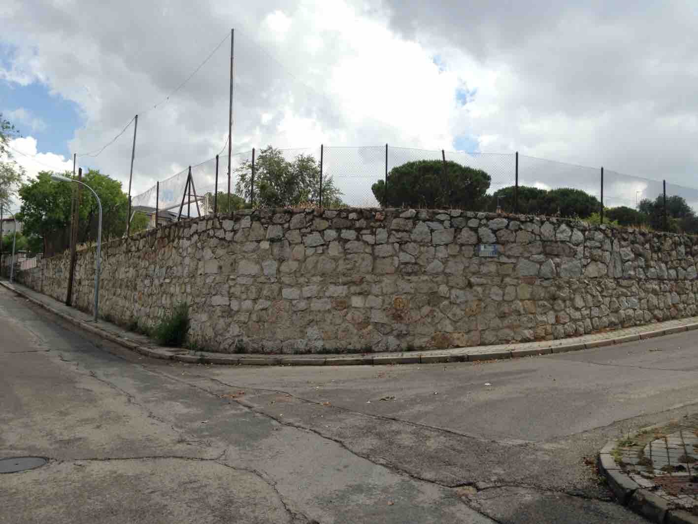
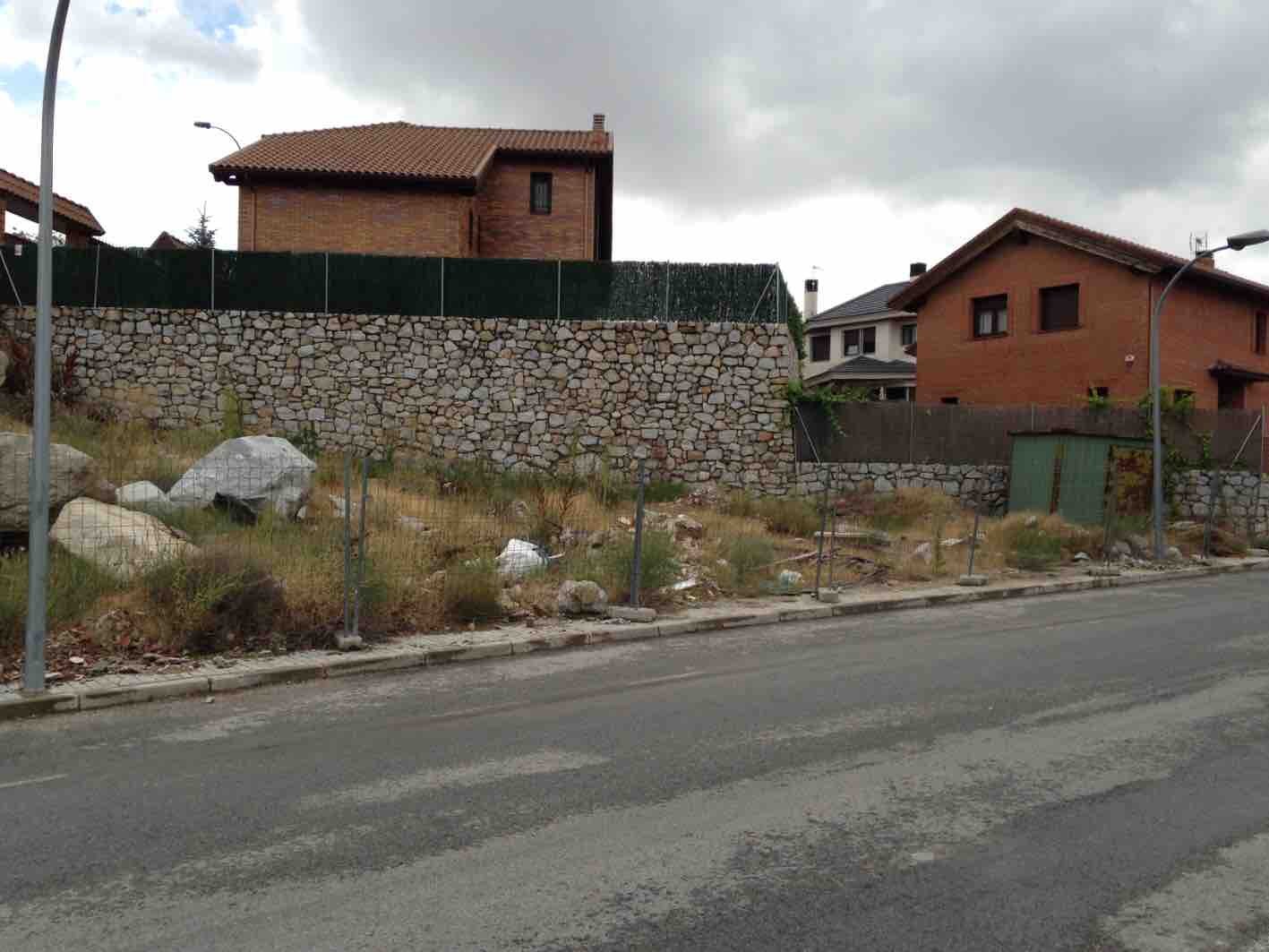
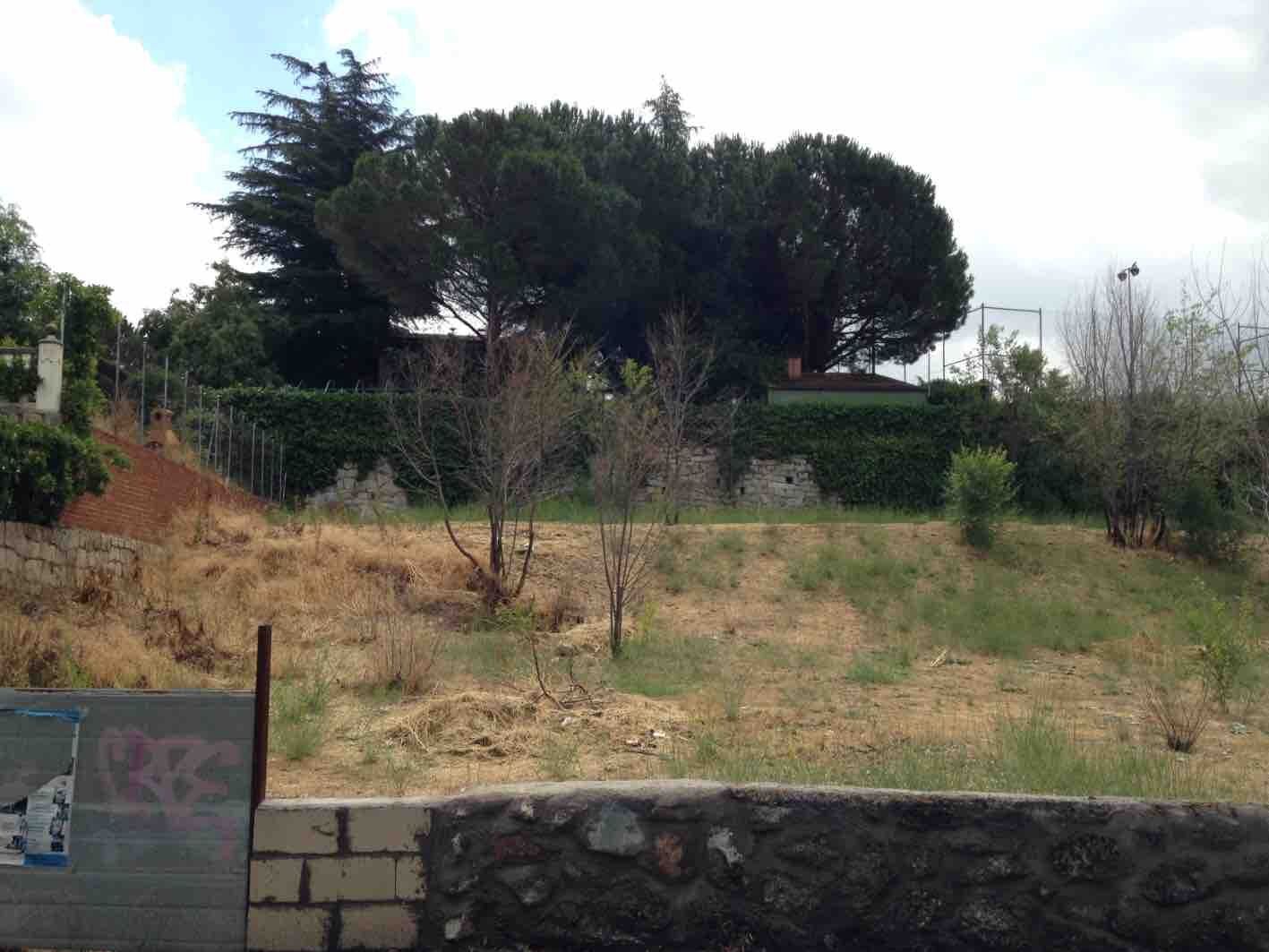
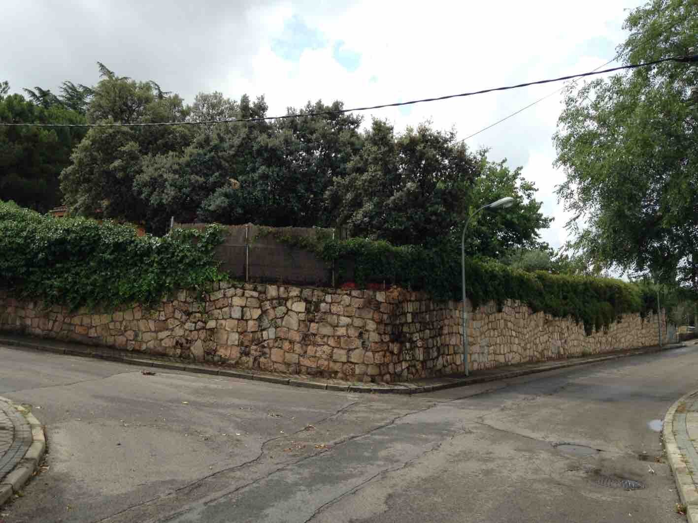
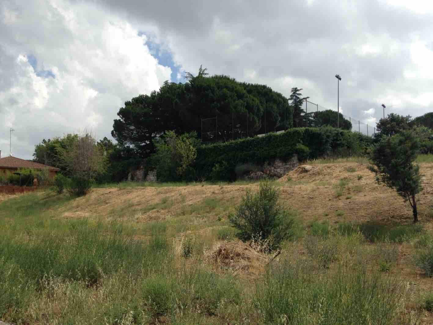
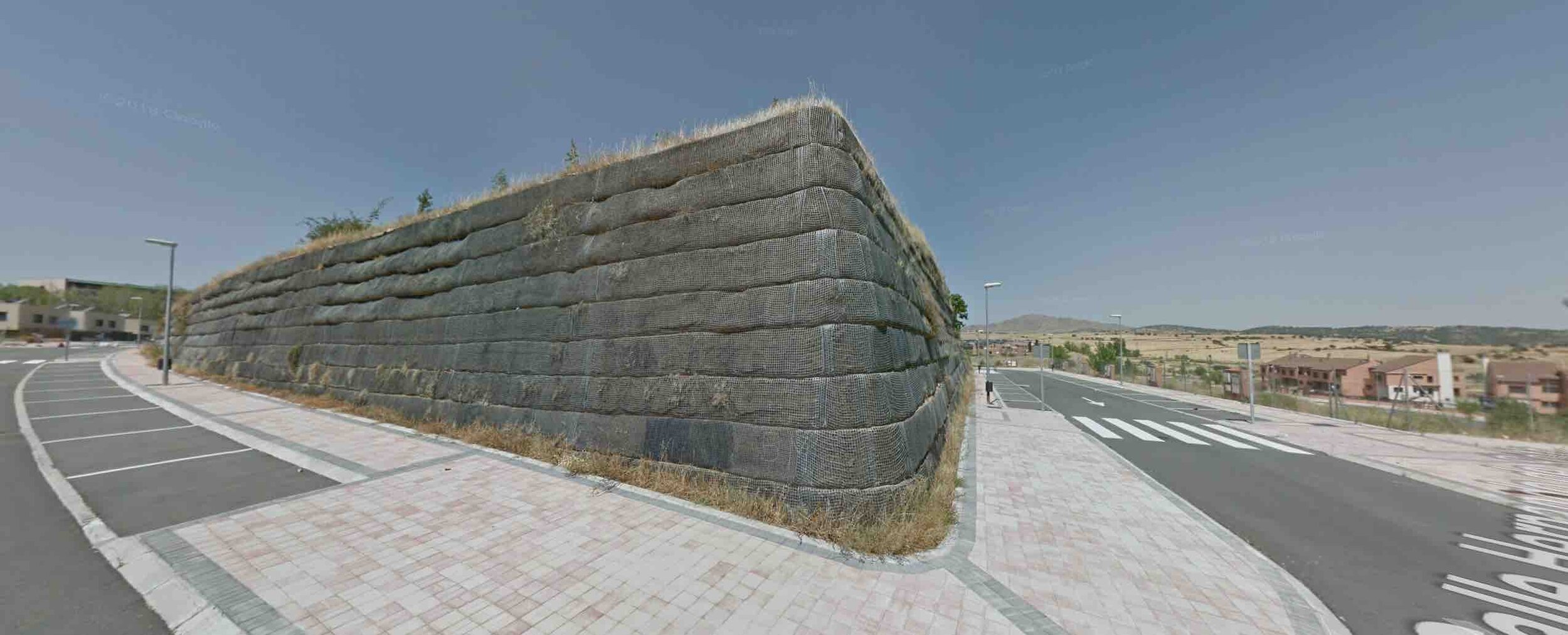
In other cases, with larger plots, the creation of a platform for public spaces of the dwellings is solved with the parking lot, but this solution generates, visually, one more floor in the building.
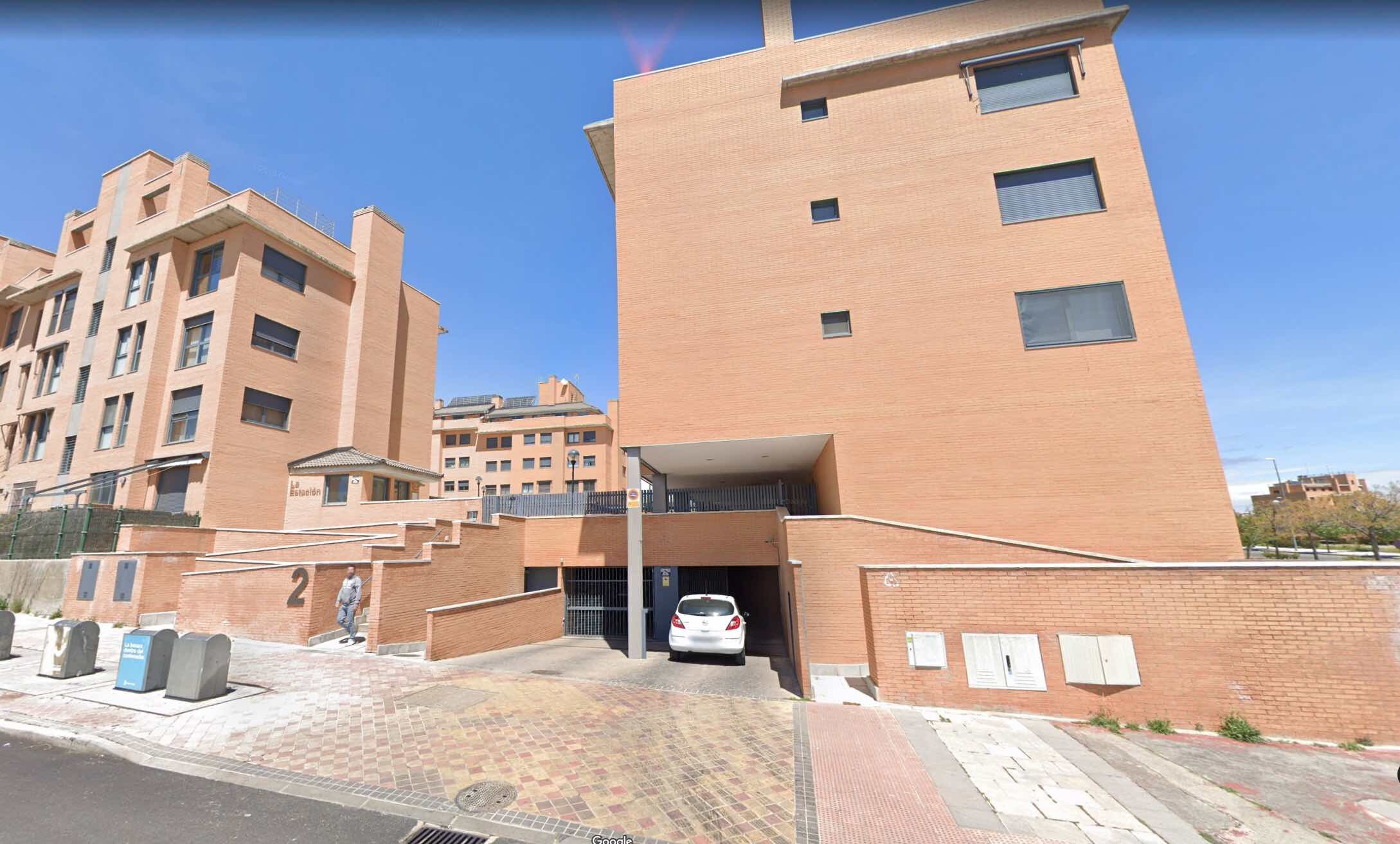
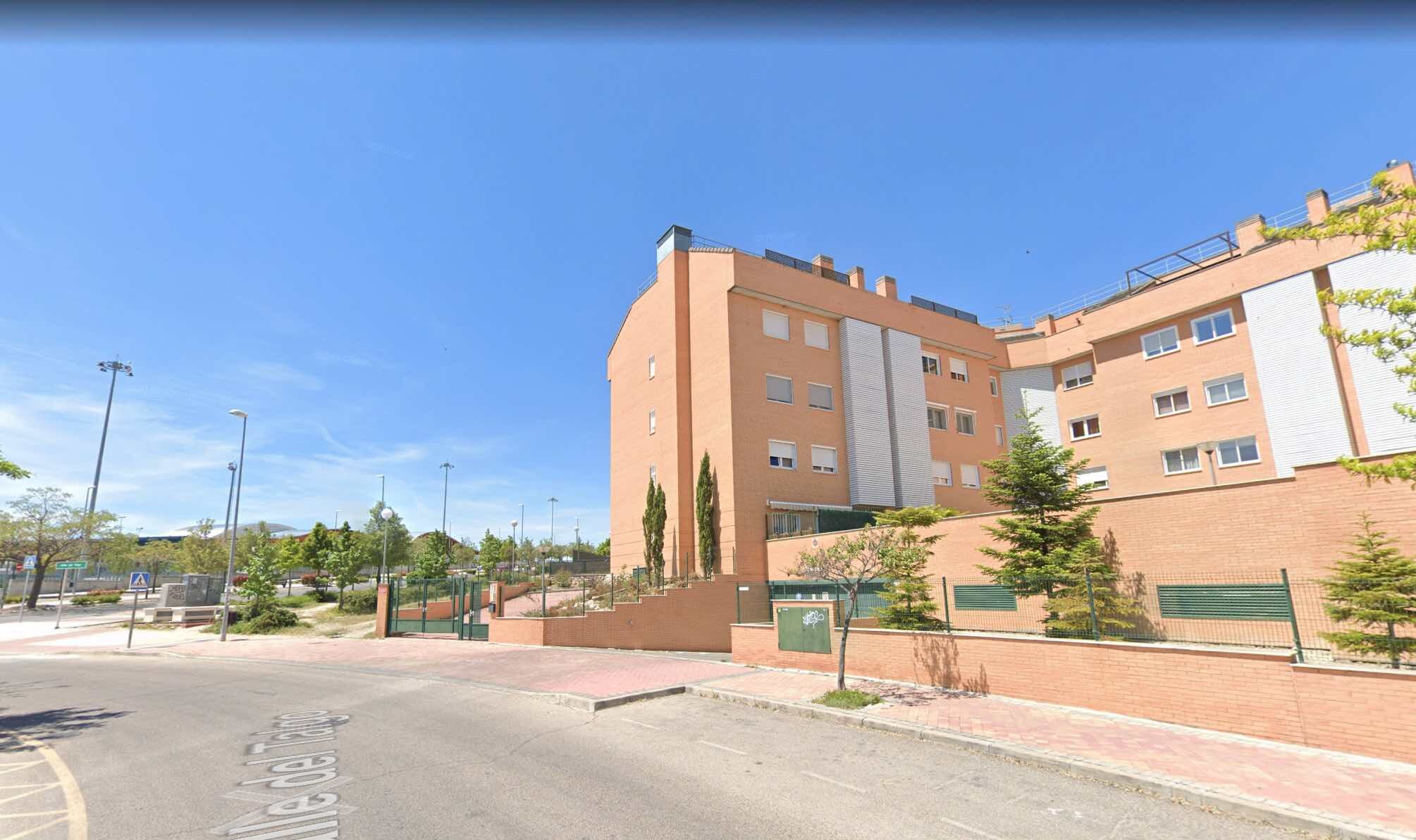
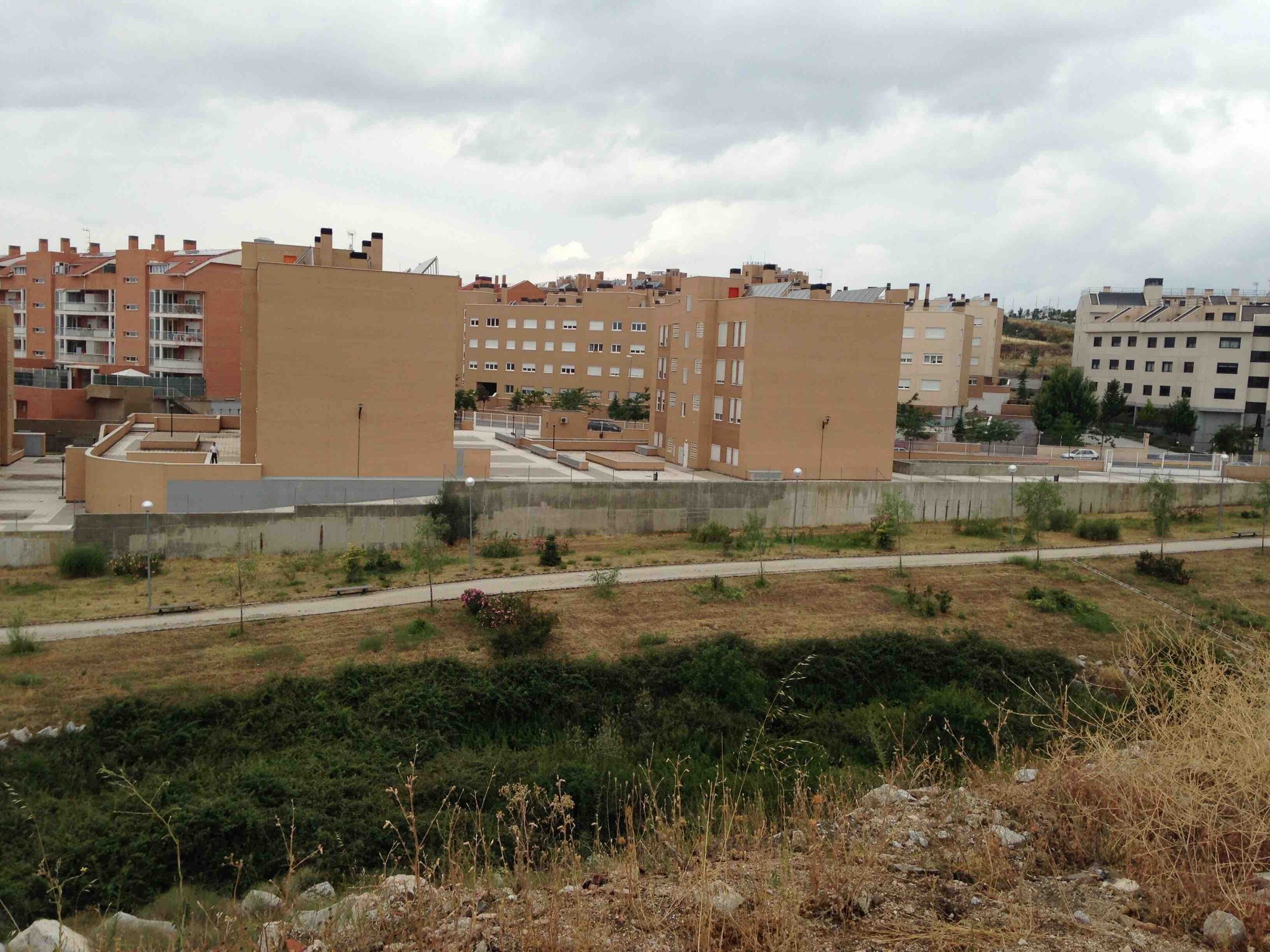
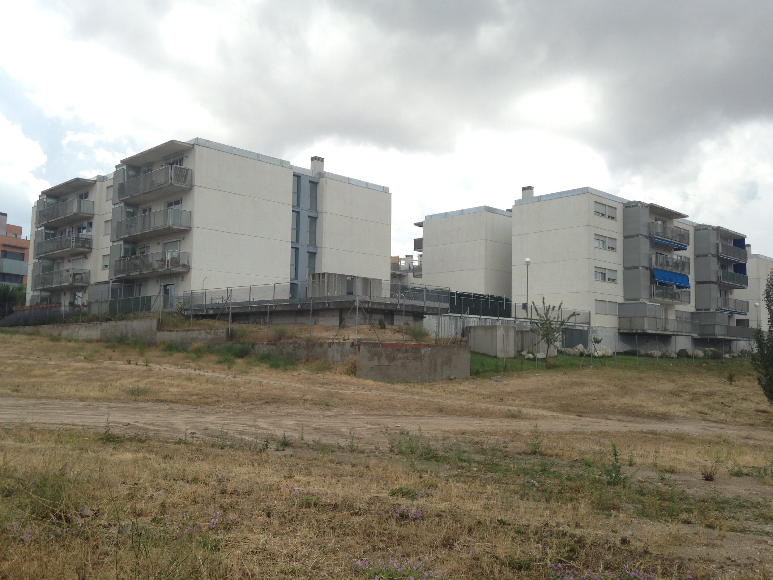
If you want to avoid having a height difference in the facades, then the retaining walls will appear inside the plots, creating numerous circulation problems and generating, instead of green spaces, spaces where built elements have too much presence.
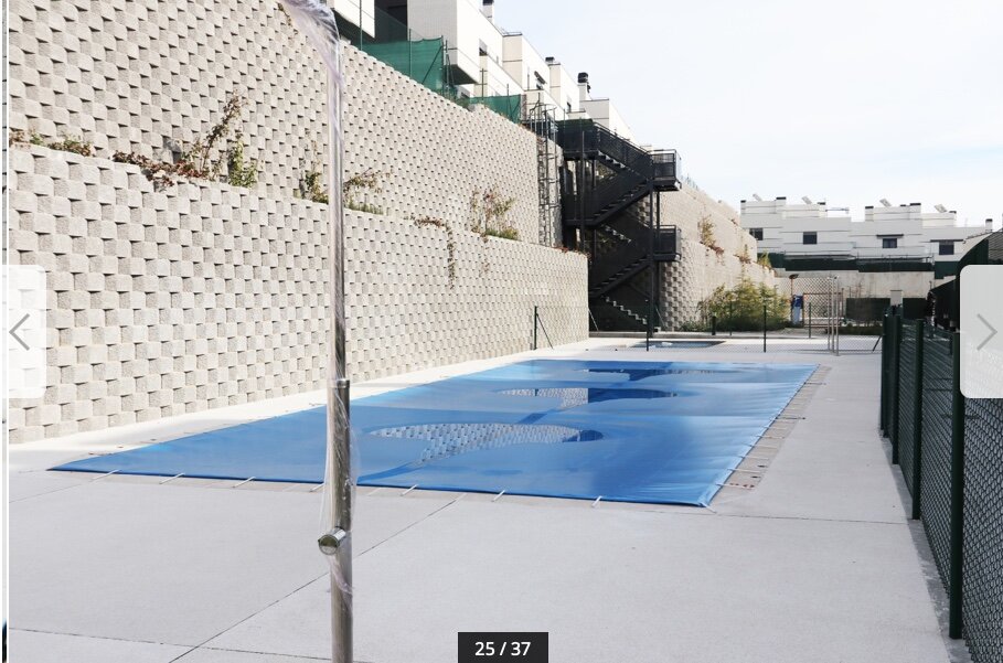
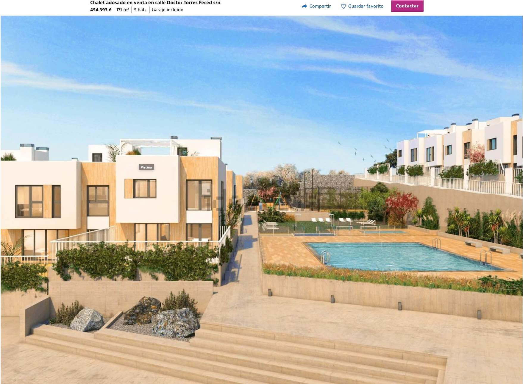
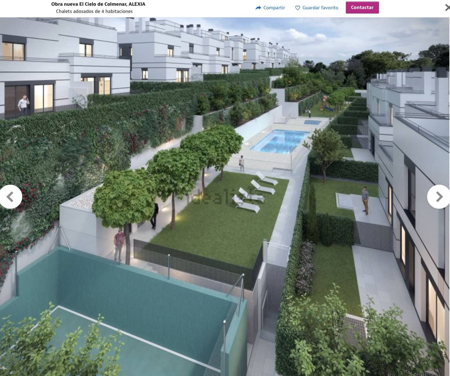
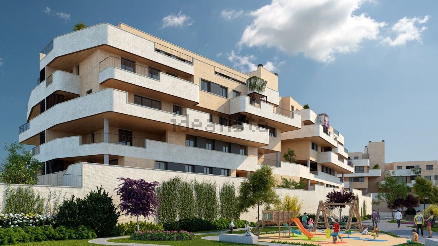
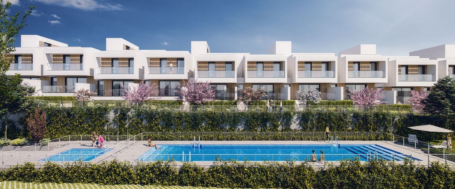
Sometimes it is the granite itself that generates the facades of the plots, both for green spaces and for buildings.
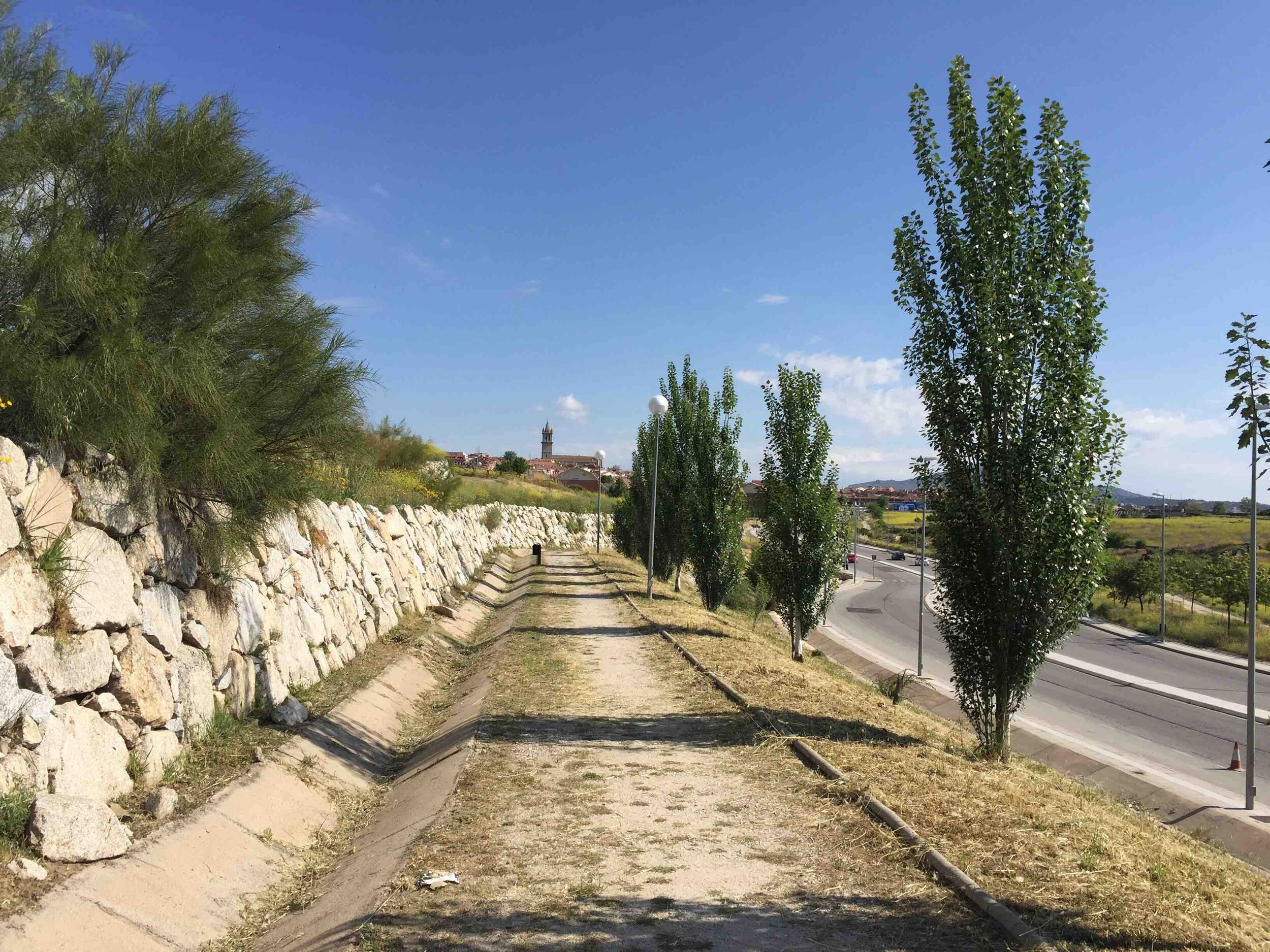
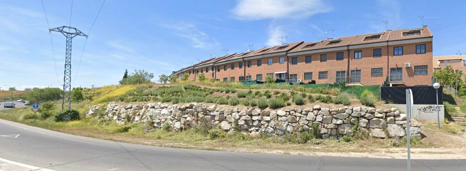
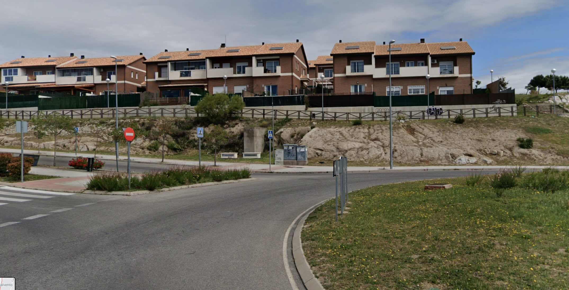
Below, we will explain the main characteristics of the some singular plots for which preliminary projects have been made to confirm their viability.
. zone 1
plot 1.03
In order to create buildings adapted to the scale of the city, and of the sector, the 1.03 plot combines collective and single-family dwellings, although sharing the garage. In this case, the platform is obtained from the constructions themselves and from fillings (from our excavations). The single-family houses do not have the character of semi-detached ones, but rather that of the typical houses in old (and dense) city centres, where the main element is the courtyard, integrated into a single platform. Given the views from the plot to the south (Madrid), the relationship of volumes between collective and individual dwellings has been studied, as well as the relationship with the adjoining plot to the north, intended for facilities, hence the emergence of two buildings with a “jagged” facade, rather than one that becomes a visual barrier.
After carrying out some procedures, the owners finally decided to allocate the plot for SERVICES, using part of the 10 % of the buildable area that the Master Plan allows for certain compatible uses.
plots 1.05,1.06,1.11 and 1.12
This is the highest area of the sector (photo 01) and to the complexity of the material, a topography with different slopes is added in each of the roads, which would make it difficult to build dwellings if they wanted to adapt them (as just one block) to the slopes of each of the streets.
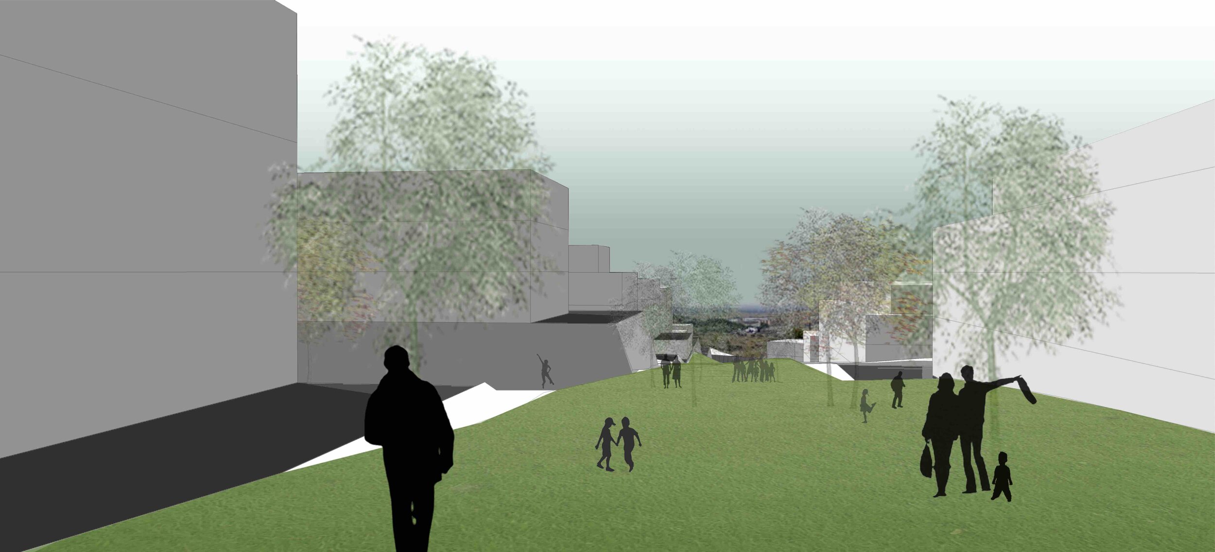
In these photos you can also see the importance of the landscape and the views that you will have from the plots, both of the mountains and of Madrid, without forgetting the green spaces we will generate in the sector. It could be said that the landscape has been a determining factor in deciding the position and volume of the buildings.
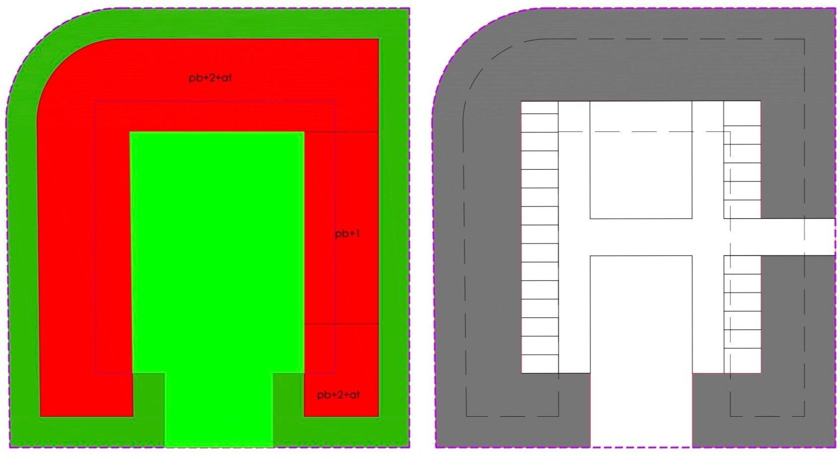
The evolution of the proposed dwellings is parallel to the understanding of the scale and the relationship between the generated spaces and the landscape, starting the proposal with linear blocks with courtyards, later with linear and parallel blocks and finally with U-shaped blocks. The closed block with interior courtyards was neglected by limiting the views of the homes facing north and east. By not closing the construction, the visual incorporation of the private gardens into the public green space system is favored.
The complexity of the topography is highlighted in the sections and the platform idea has been useful to avoid depending on the 4 different slopes that surround each plot, being able to develop the program in a single horizontal plane, without the need to subdivide the buildings to adapt them to the level of the streets. These platforms have also served so that the ground floor apartments can have a garden area, without privacy problems, becoming "attic", with the consequent increase in real estate value.
The volumetric composition, alternating two and three heights (with or without attic), brings with it the appearance of terraces at different levels and therefore usable by apartments that will not necessarily be at the level of the attics.
For us, it was a priority to continue maintaining the identity of the sector, making the new granite fronts, originated after the excavations, visible and shaping elements of private and public spaces.
A possible overview with the differentiation between common and private green spaces on each plot.
plot 1.14
From the beginning it was thought that this plot had a low density of dwellings, due to the abrupt topography, preserving the views from the road (photo 01) and from the blocks located to the east, in such a way that the important thing was not the architecture, understood as built buildings, but rather the space between them and the landscape.
During the work we had to considerably increase the density of the dwellings to be able to complet the buildable area of the sector, with two buildings with a somewhat particular volumetry that were the evolution of a social housing project built in calle Argentina in Ceuta.
However, after the change in the main road section, the two parcels were unified into one and the decrease in area led to an adjustment in other parcels that allowed the number of dwellings to be cut in half.
Maintaining the same initial premises, that is, not creating a continuous facade next to the road, 6 buildings are arranged with dimensions and positions so that the apartments can have double ventilation and orientation (north-south). This is how we ensure that all apartments have views and that they can take advantage of the sun in winter and protect themselves from it in summer.
We would have preferred not to have to build more on that plot, but again, the need to complet the buildable area has led us to introduce 10 single-family homes (semi-detached), which may have one or two floors. These houses will be next to the stream and will make it possible to safeguard the natural character of the stream, instead of having three-floors buildings next to it.
Contrary to what the plans might suppose, the fact of having the beginning of the structuring road at an upper level will be useful for these single-family homes to be isolated from traffic noise, in addition, although they are at a lower level, they will continue to have views over the stream and even over Madrid as seen in this 360º photo.
. zone 2
plot 2.01
Although its location gives the impression that this plot is boxed in, the dwellings will be able to enjoy one of the best views in the sector, being on a small hill at one of the highest levels in the sector (+900 m). The singularity of its topography, as well as the presence of granite, have been fundamental to propose an intervention modifying the terrain as little as possible, which translates into a low density of dwellings, distributed in three blocks that will be supported subtly on the granite and on the garage (as a platform), which will be executed on the surface since the proximity of the existing single-family houses (less than 100 m) prevents the use of explosives and any modification of the topography would have to be done with mechanical means, which would make the housing development extremely expensive.
It has been decided that instead of building one block, there should be at least three, guaranteeing a certain visual permeability with the adjoining houses. With the dimensions proposed for the blocks, it will be possible to build two apartments per floor and each of the them will have three facades with different orientations, increasing their quality.
plot 2.04
In order to conserve the quarries in this area as much as possible, the developers agreed to locate there isolated single-family homes (plots 2.02 and 2.03). It is true that they could have been used for green spaces, but the existence of the stream and the need to create a green space network made it unfeasible to further increase the areas used for parks and gardens (according to the Master Plan there would have to be at least 66 thousand square meters and in the Partial Development Plan there are 113 thousand).
The houses can be organised in urbanisations sharing entrance and control and could even have a community parking (built on current ground level and using fillings of material from zone 1 to fill the spaces between parking lots and quarry fronts); They would have as patios, the existing spaces already excavated and / or the new ones generated during the construction (in addition to the community gardens), making each house have its own uniqueness. Based on the possibilities of each plot, and each preliminary project, urban regulations have been issued to ensure the singularity of future buildings, avoiding standard projects, since the sector is not a standard place. Thus, only one height above the level of the quarry fronts will be allowed for various reasons.
In the 360º photographs you can see the difference in spaces depending on the position you are in. From the highest point (photo nº1) you can see the entire sector and even the nearby mountains, although the space created by the old quarry goes completely unnoticed.
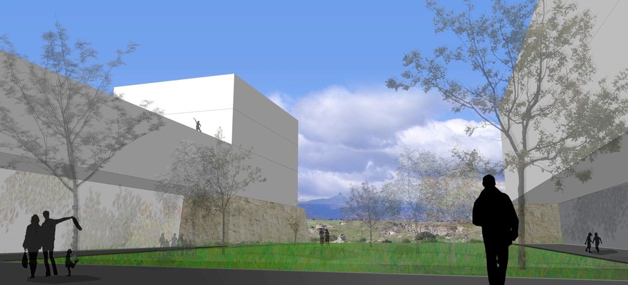
From the bottom (photo nº2) the space is limited almost entirely by the granite fronts, forming an unique and also private sculptural space, as it cannot have visual access from the adjoining streets. A correct treatment of this quarry in the building project, will be able to accentuate this singular character: living in a quarry.
On the other hand, a low density of buildings and a single height (from the upper level of the quarries) will allow upper private and public green spaces to be perceived from the road as one, increasing the quality of the public spaces and maintaining current views over the mountains, instead of creating urban streets surrounded, visually, by buildings.
plot 2.5
The houses on plot 2.05 were a challenge; how to build terraced houses without generating the typical image of this type of housing. One of the determining factors was to create a homogeneous volume instead of multiples (one for each house), but this task is complicated by the ruggedness of the topography. In order to make the upper elevation of the plot compatible (adjacent to the road) with the lower elevation at its boundary with the stream (boundary that has been adapted to the flooded areas specified in the hydrological and hydraulic study), it could not be taken as zero elevation of the houses the highest next to the road, due to the problems that it would generate of accessibility to the private green areas, and because of the height that the facade of the houses would reach towards the stream. To solve these difficulties, it has been chosen to match the level of the road with the roofs of the houses, that will constitute pedestrian access to them. The garage will be communal and will be executed on the existing ground level, without the need to do large excavations, thanks to having studied and considered the elevation of the street with respect to the current terrain (the road will be executed with fillings too).
Thanks to the generous dimensions of the plot, the houses will have interior courtyards that facilitate the connections between levels, without having to use stairs, increasing the dimensions of the houses but without exceeding the assigned buildable area.
Although the houses were studied as if they were completely isolated, in the end it was decided to make them attached in order to optimise resources and group the car parks in a single garage. It is expected that the execution cost will be even lower than usual because a construction using cyclopean concrete walls is proposed, taking advantage of the material arising from the excavations and dispensing with reinforcements or structures based on reinforced concrete pillars and beams.
. zone 3
plots 3.02 and 3.03
Located at the lowest point in the entire sector (photo no. 1), and without views, it was necessary to think of other types of dwellings to make them attractive. Its location next to the stream (this is next to the park) and the fact that there are no visible roads around it (except the one that gives access to the plots) will let the inhabitants to have the feeling of living in a green space. In addition, building (at least) three blocks, instead of one, will allow each of the apartments to have at least three facades, moreover they will not represent a visual barrier between the plots that are on both sides of the stream, enhancing the landscape aspect of the action where green spaces should predominate over built spaces.
Continuing with the general strategy of using platforms from the excavations and / or land fillings, to achieve common spaces at the same level, the apartments on the "ground floors" will have their own green space above the level of the road and the one of the stream, thus avoiding problems with possible floods (despite having adapted the boundaries to the public hydraulic domain).
To avoid having to excavate the garages, they have been located practically at the same level as the natural terrain and the access road (eliminating ramps and optimising space). By having few neighbors, the car parks can have another type of treatment, with landscaped courtyards and fronts open to private green areas.
plots 3.4 to 3.11
If we stick to the zoning plan and the photographs of the site, one might think that the topography is not as complex as in zones 1 and 2, but if instead of observing this area from afar we walk through it, we will realise that height variations are much more important than they appear.
The complexity of the topography is not assumed either with a simple visit, not even with a detailed study of the topographic survey, it is necessary to start a slow process of reflection and understanding at different levels (sketches, plans, photographs, visits...) to be able to intervene at.
At all times the owners were aware that the model of semi-detached houses with minimal landscaped spaces would be obsoleted when the works were finished, so they requested a residential development with collective green spaces that could really be considered gardens. This breadth of plots has allowed greater flexibility in the arrangement of the houses, which in most cases will have facades to the north and south for better use of sunlight.
The levels of each of the platforms have been studied so that the houses can have views, in some cases, over the buildings of the adjoining plots. The visual leaks that the sloping streets could produce towards zone two of the sector have also been taken into account, as well as the vision that will be had from this towards the housing complex.
Analyzing the transversal and longitudinal sections, the irregularity of a terrain with double slopes (also variable) will be appreciated, especially if the space is to be ordered with a certain rationality, hence these houses cannot be understood without the longitudinal and transversal sections.
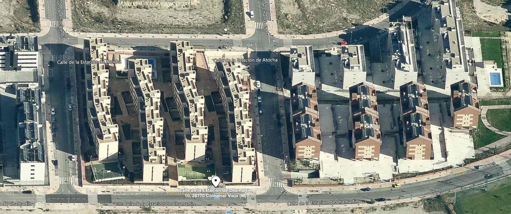
Once again, the use of platforms as tools to achieve the required urbanity, both in public and private spaces, allows us to optimise roadways, allocating the rest to pedestrian areas. The accesses for cars and people will be unified at one point (which will facilitate their control), having community garages, although each home may have its vehicles in the same vertical and may be closed to achieve even more privacy. The entrance to the plot will be made directly to the common garden areas from where you can later access each home. The dimensions of these common spaces allow vertical connections (with heights no greater than 1.5 m) through ramps, avoiding images such as those of the promotions recently executed at La Estación sector.
plots 3.14 to 3.20
Although at the beginning the 2006 the Public Network System had located single-family homes in these plots, we decided to change them to collective ones, but under a series of criteria.
Until the new Master Plan is drafted, the terrain between the livestock track and the train tracks will continue to have a rural use, so the new dwellings in our sector will configure the façade that the city faces towards the countryside. For this reason the dwellings could not have the same treatment as if they were inside the urban area. How long can the extension of Colmenar Viejo to the west take to be executed? Taking into account that it can also grow towards the south to join Tres Cantos (which would be the most logical option), we would be talking at least 20 or 30 years. In any case, the livestock route will always exist, so regardless of how the city evolves in terms of urban development, we believe that the “rural facade” treatment is the most appropriate.
However, if collective dwellings are placed on the western edge of the sector, it is necessary for the blocks to be placed perpendicular to the livestock track, separating them sufficiently so that the ratio between landscaped space and built space is greater, something that does not happen in the promotions of La Estación (south of our sector). The increase in housing density in this part of the sector has allowed us to increase private common spaces in other plots with greater topographic complexity and with a greater presence of quarry fronts to be preserved.
We are possibly in the area with a more regular orography, with a single slope (north-south direction), with hardly any modifications due to excavations.
These dwellings faced a paradox; If the distribution and organisation of public spaces had to respond to a transition from the city to the countryside, in the last section of this route (before reaching the livestock track), pedestrians were going to find a high building density. However, the impact could be mitigated if the roads were optimised to reduce the presence of vehicles, both visually and acoustically.
From the beginning of the project, it was decided to eliminate the road between the dwellings and the livestock track, as well as the secondary roads perpendicular to the structuring road, thanks to the direct access from it to the plots, in this way, the buildings were located on a plane, coinciding with the current terrain, delimited by the livestock track and the pedestrian walkway parallel to the structuring road. We had managed to incorporate the dwellings into a (nowadays) rural space, without the presence of cars.
The relationship of the dwellings with the main road remained to be resolved, since they were on different levels (separated between 6 and 8 meters). We decided to be consistent with the urbanization proposal in the sense of using excavations but with mining techniques, being aware that the prices using explosives is 3.89 €/m³ and 56.61 €/m³ if mechanical means are used. Given this difference, it was clear that if we had to excavate, it would be more profitable to do it on a large scale, hence the idea of not limiting ourselves exclusively to parking and incorporating common spaces into the earthworks.
In addition to the design and economic conditions, the compatibility with the Master Plan regulations remained to be resolved, which makes no reference to the possibility of building garages, basements or common areas, 6 meters lower than the dwellings ground floor. Given the uncertainty, we consulted the municipal technicians and they replied that there was no reference because no one would think of digging up to 6 meters to build the garage, in reality the Master Plan allows raising the height of the ground floor, 1,2 m over the level of the street to avoid the excessive costs of excavations in granite for the construction of garages. For us, granite was not the problem, on the contrary, the greater the excavation were, the less cost the urbanisation would later have, since we could use our own material for the fillings of the plots and most of the other roads.
At this point, we had to resolve the relationship between structuring roads, garages, common areas, homes and public pedestrian areas.
The delay in drafting the Partial Development Plan has allowed us to analyse and compare the scales of the building and spaces (public and private) proposed, with others already built and that have been decisive in convincing the owners that the dwellings were not only profitable economically but also had a value that distinguished them from other developments that take place in the city.
In Hitzigallee street in Berlin, we found a group of dwellings that are similar in dimensions to ours next to the livestock track, with measures of 44 x 11 x 13 m and a separation of 16 m. In our case, we will have 50 x 14 x 13 m and between the blocks we will have 29 m, that is, the gardens between the buildings will be twice the width.
Some owners found it strange that common areas could be at a significantly lower level. Similar spaces are found in the Villete park in Paris and more specifically in the Bamboo Garden, which is 8 meters below the level of the park and which manages to completely isolate the visitor, as well as being the coolest place in the whole park in summer.
The other aspect that was discussed was the relationship between the common areas and the apartments. It is usual to find buildings in which the ground floor is open plan and in which only the service cores and the pillars are visible, but in most cases the free height does not exceed 3 meters (even less), generating unpleasant spaces. But if instead of pillars we had only two service cores, buildings with a maximum width of 14 meters and a free height up to the garden of 6 meters, these arcades would not have such a characterisation and would be included within the community garden that would occupy the entire plot (except for the surface of the garage). Again we can find similar situations that were useful to verify the suitability of the proposal. The Quai Branly museum in Paris (by Jean Nouvel) is a project where the building is secondary, the important element is the garden that occupies the entire width of the plot, protected from noise by an acoustic barrier (which serves as a panel announcing the activities) and that goes under the building. Definitely, the architect created a garden that contains a museum, as in our case, we will have gardens with dwellings inside, instead of dwellings with gardens.
With all these conditions factors; conformation of the facade of the city towards the countryside; orientation and layout of buildings for energy optimisation; separation of pedestrian and road routes; mining excavations versus urbanisation excavations; relationship between gardens and apartments... an architectural proposal had to be materialised to show its viability.
The plans confirm the unification of the accesses in a single point, the elimination of ramps (since the garage is on the same level as the access road), the possibility of including different sports courts and even a covered swimming pool over the car parks, establishment of different levels in common spaces with treatments depending on the need to expose or protect oneself from the sun (depending on the season of the year), direct and private pedestrian access to public walkways...
We think that this type of housing can be considered more associated with the livestock track and the rural area, than with the city itself, which was one of the challenges that we set ourselves, that you could have the feeling of living in the countryside.


